To the left, a long, narrow, lightly-wooded island. Skeletal trees, dying on the upwind end; drowned by the attrition of the waves. To the right, a narrow, eager, urban strip. Hotels and casinos, pressing against the water’s edge; vying for access to the white sand beaches and gentle waters of the sound. Such different places on either side, yet the one on the right is the reason we’ve come to the one on the left. We’re here as part of our Adventure Trip to pick up any artificial debris that’s managed to float across the sound and collect and contaminate the quiet, isolated beaches of the island.
We’d gotten on a pontoon at the research lab right after breakfast, so the early adolescents were still a little groggy. Our vessel’s captain asked a question about team mascots which promptly woke up approximately 63.64% of the class, and served as a topic of conversation for the twenty or so minutes it took to get to the drop-off point on the west-north-western end of Deer Island.

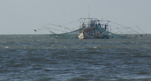
Mostly unobserved by my busy students were the half dozen shrimp boats casting their nets in the sound. Long, spider-like, almost robotic arms spread out from the vessel to lower the nets. It’s quite an impressive sight. Commercial shrimping is a major industry all along the Gulf coast.
Deer Island (and its hike). View Coastal Sciences Camp, Gulf Coast Research Lab in a larger map

The island itself is long and thin, wedge shaped, no more than a couple hundred meters at its widest at the eastern end, but thinning to less than 100 meters to the west. Although wider, almost all the trees seem to have died on the eastern end. Then there is a gap and the trees are mostly alive. Looking at the satellite image, you can see a clear channel cutting through the island. From the image, I’d guess the channel is tidal, with water moving back and forth, filling and draining the sound with each cycle of the tides. The sediment deposited in the quieter waters of the sound (to the north) seem to be forming a small, white-sand delta; the equivalent deposits on the south are probably washed away by the longshore current pretty quickly since that shore is exposed to the wind and waves.
Deer Island is not an active barrier island: twelve kilometers to the south, Horn and Ship Islands do that job today. However, given the shape of Deer Island, it may have once been a barrier when the coastline was further inland. This is all part of the coastal plains deltas, which includes the Mississippi Delta and smaller rivers. These rivers transport sediment from the mountains inland and deposit them in the ocean, gradually building out the land. As the deltas build out, the barrier islands also push out to accommodate them.

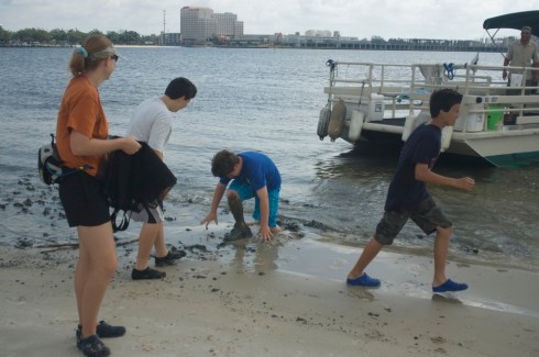
The pontoon pulled up on a broad, sandy beach then retreated to deeper waters where the fishing is better. The white sand beach we landed on was an artifice, just like the East Beach Drive beach we’d walked the day before. Our first steps betrayed the secret. Breaking through a thin cover of sand, we sank knee-deep into a rich black mud that’s the natural sediment in a quiet waterway like the sound.
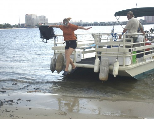
Our guide, on the other hand, seemed to have a preternatural ability to avoid sinking into the mud, or even getting her feet wet, or even touching the water.

References
The first image was distorted using a four point distortion method with ImageMagick.
> convert sc-deer-island-1843.jpg -matte -virtual-pixel transparent -distort Perspective ‘0,0,0,200 0,664,0,564 1000,0,1000,0 1000,664,1000,664’ tst2.jpg
> convert sc-deer-island-1841.jpg -matte -virtual-pixel transparent -distort Perspective ‘0,0,0,0 0,664,0,664 1000,0,1000,200 1000,664,1000,564’ tst.jpg
