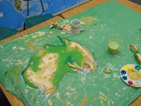
Dr. Austin has the middle school students build physical models of the continents as an exercise in geography. They use some type of cellulose clay to shape the topography then paint on or apply other icons to represent other types of spatial data; one group, for example, used sparkles to represent population.
The final models are nice for trying stop-motion fly-throughs.