Shreerang Chhatre is working on a mesh that captures droplets of fog from the air to provide water in places where drinkable water is hard to get.
Chhatre is working on this at MIT which has some interesting programs for people interested in social action. He’s in the Chemical Engineering program but works with their Legatum Center for Development and Entrepreneurship.
I have a great antipathy when my word processor tells me what to do, or, even worse, “corrects” my writing without my permission. So I avoid MS Word like the plague. OpenOffice is little better. Now I’ll admit that my writing is usually in great need of a good editor, but not looking over my shoulder, inserting little, irritating suggestions while I’m caught up in the turbulent rapids of self-expression. Getting into the flow of productive writing is difficult enough; I don’t need the extra distraction.
Instead I much prefer the plain text editors; Smultron has been a favorite of mine since I’ve been using Macs, and I spend a lot of time writing on the class Wiki (MediaWiki) and on this blog (WordPress), which both have very simple text-entry boxes.
WordPress and MediaWiki also process the text and make it presentable. Like most websites these days, this blog has a theme that tells it where to put the text, how to format it, what background to have, where to insert images, what to have in the header and footer, …. The theme I use was created by Karen Blundell and adapted to put in a couple of my own details, like the little citation thing, and the ability to name the reviewer and editors at the bottom of the post. I did spend a lot of time getting these things to work, but I did learn quite a bit about the inner workings of WordPress and CSS in doing them, and once they were done, I could forget about them entirely and just focus on the writing.
Similarly, with LaTeX, although it’s much more of a pain to figure out how to use. On the Muddle I use LaTeX to add mathematical equations, but it really is a fully-fledged typesetting program, designed for professionals.
Two pages from a booklet my class and I put together about a display of fossils. I used LaTeX to typeset.
My class recently created a little display of fossils collected from Coon Creek for a school fundraiser, and we put together a booklet for it. I had the students write their essays and put them up on our Wiki. Then I copied and pasted their text into a LaTeX document, added a couple chapters from some of my blog posts, and it did the rest to create a very nice looking book, complete with title page, table of contents and bibliography.
Setting up the LaTeX file was not trivial, since I’ve not used it in a number of years, and this was the first time I tried to format a book. But it creates beautifully looking documents, without all the mysterious formatting features that inevitably show up if you tried something this complex with Word.
There are, I’m sure, other software for publishing documents like this. However, LaTeX is free and so is the old version of Smultron. Smultron’s new version costs $4.99, but is probably worth it.
I discovered yesterday, that for some reason or the other, a number of my posts’ comments sections were closed. I’ve re-opened them all again, but I’m still not sure why they closed themselves.
Also, as I mentioned before, if you try to post a comment and it does not show up it was probably caught up in my spam-filter. I’ve caught a few like that, but it’s impossible to check them all. A direct email should suffice to solve that problem if it occurs (see contact me). I appreciate all the feedback.
The cold front of this mid latitude cyclone spawned several fatal tornados on April 28, 2011. The cold front is the blue line with triangles pointing toward the east. Image via NOAA HPC.
The cold fronts of mid-latitude cyclones bring thunderstorms, rain and spawn tornadoes like the ones we’ve seen over the last few days. In the spring and fall, these cyclones just sweep across the southern U.S. again and again. The line of their passage sort-of marks the northward migration of the sub-polar low in picture of the global atmospheric circulation system.
The circulation cells of the global atmospheric circulation system migrate north and south with the seasons. Image links to larger version (1 Mb).
Each individual front, with its storms, is a feature of the weather. Climate, on the other hand, is the result of the average position over time: the series of fronts which make the southern U.S. wet in the spring and fall.
The sub-polar low is not the only feature that brings lots of seasonal rain. The ITCZ does also, and the rains that the ITCZ’s movement north and south of the equator bring, are what we call the monsoons. The yellow star on the animation, just to the north of the equator, sees monsoonal rains in the summer. Since the ITCZ follows the sun with the seasons, the monsoons always come in the summer; even in the southern hemisphere.
As climate changes, biomes move, and the range of the brown recluse spider migrates north and east (blue area) from its current location (red dashed line). Image adapted from Saupe et al. (2011).
Just in time for us to learn about global change, this interesting study on the expanding range of brown recluse spiders came out. Once restricted to the southern U.S. and the midwest, future climate change will allow them to expand north to Minnesota and east into Pennsylvania.
The researchers, Saupe et al. (2011), used ecological niche modeling. This method takes known information about where the spiders live, such as climate (e.g. summer temperatures) or topography (e.g. mountains versus plains), to figure out the current extent of their ecological niche. Then they use climate models to figure out where those same conditions will apply in the future. Thus the spiders march north.
A God's Eye View of Moses parting the Red Sea. Image from the Glue Society.
The Glue Society has a most interesting set of satellite images modified to look like major biblical scenes. CreativeReview has more pictures and details, including of the crucifixion and Noah’s Ark.
“We like to disorientate audiences a little with all our work. And with this piece we felt technology now allows events which may or may not have happened to be visualized and made to appear dramatically real,” say The Glue Society’s James Dive. “As a method of representation satellite photography is so trusted, it has been interesting to mess with that trust.”
— CreativeReview (2007): The Bible According To Google Earth
I think this topic came up when we were talking about atmospheric circulation. The question was about if the winds generated descending, diverging air could have parted the Red Sea. The answer was no, because the general atmospheric circulation system is a thing of climate — averages of the weather — while any winds strong enough to part the red sea would be actual weather, like the storms we seem to have been seeing every day for the last few weeks.
Oddly enough, just last year researchers from the University Corporation for Atmospheric Research (UCAR) did a computer model that showed that hurricane force winds from the northwest could have uncovered an underwater reef to allow Moses his passage (the article is Drews and Han, 2010).
However, the scientists found:
[The] reef would have had to be entirely flat for the water to drain off in 12 hours. A more realistic reef with lower and deeper sections would have retained channels that would have been difficult to wade through. In addition, Drews and Han were skeptical that refugees could have crossed during nearly hurricane-force winds.
— NCAR & UCAR News Center (2010): Parting the waters: Computer modeling applies physics to Red Sea escape route.
Global warming over the last 130 years. The graph shows the temperature anomaly, which is the difference in temperature from the average (0 on the graph). The total change from the 1820's is about 0.8 degrees Celsius. Graph from NASA GISS.
IN addition to the global graphs, there are a lot of really neat graphs showing:
separate graphs from the tropics versus the northern hemisphere versus the southern hemisphere (the different latitude bands);
the difference between the northern and southern hemispheres;
the U.S. only;
seasonal changes.
The graphs typically show the temperature anomaly, which is the difference in temperature from the normal. The “normal” is taken to be the average temperature between 1951 and 1980.
The first thing you notice is a small, rickety bridge whose main job is to keep your feet dry as you cross a very small stream. The stream is on its delta, so the ground is very soggy, and the channel is just about start its many bifurcations into distributaries that fan out and create the characteristic deltaic shape.
Delta and estuary of the small stream near the villas.
There’s a bright orange flocculate on the quieter parts of the stream bed. It’s the color of fresh rust, which leads me to suspect it’s some sort of iron precipitate.
It is quite easy to stick your finger into the red precipitate at the bottom of the stream.
Iron minerals in the sediments and bedrock of the watershed are dissolved by groundwater, but when that water discharges into the stream it becomes oxygenated as air mixes in. The dissolved iron reacts with the oxygen to create the fine orange precipitate. Sometimes, the chemical reaction is abiotic, other times it’s aided by bacteria (Kadlec and Wallace, 2009).
The bark has been chewed off the top half of this stick. The tooth marks are characteristic of beavers.
Past the small delta, the trail follows the lake as it curves around into another, much bigger estuary (see map above). We found much evidence of flora and fauna, including signs of beavers.
We even took the time to toss some sticks into the water to watch the waves. With a single stick, you can see the wave dissipate as it expands, much like I tried to model for the height of a tsunami. We also threw in multiple sticks to create interference patterns.
Observing interference patterns in waves.
The Oak Ridge Trail, which we followed, diverges from the somewhat longer Pin Oak Trail at the large estuary (which is marked on the map). The Pin Oak Trail takes you through some beautiful stands of conifers, offering the chance to talk about different ecological communities, but we did not have the time to see both trails.
Instead, we followed the Oak Ridge Trail up the ridge (through one small stand of pines) until it met the road. The road is on the other side of the watershed divide. I emphasized the concept by having my students stand in a line across the divide and point in the direction of that a drop of water, rolling across the ground, would flow.
At the watershed divide.
Then I told them that we’d get back by following our fictitious water droplet off the ridge into the valley. And we did, traipsing through the leaf-carpeted woods.
Students imitating water droplets find a dry gully.
Of course there were no water droplets flowing across the surface. Unless its actively raining, water tends to sink down into the soil and flow through the ground until it gets to the bottom of the valley, where it emerges as springs. Even before you see the first spring, though, you can see the gullies carved by overland flow during storms.
Spring.
Following the small stream was quite enjoyable. It was small enough to jump across, and there were some places where the stream had bored short sections of tunnels beneath its bed.
The stream pipes beneath its bed. Jumping up and down over the pipe caused sediment to be expelled at the mouth of the tunnel.
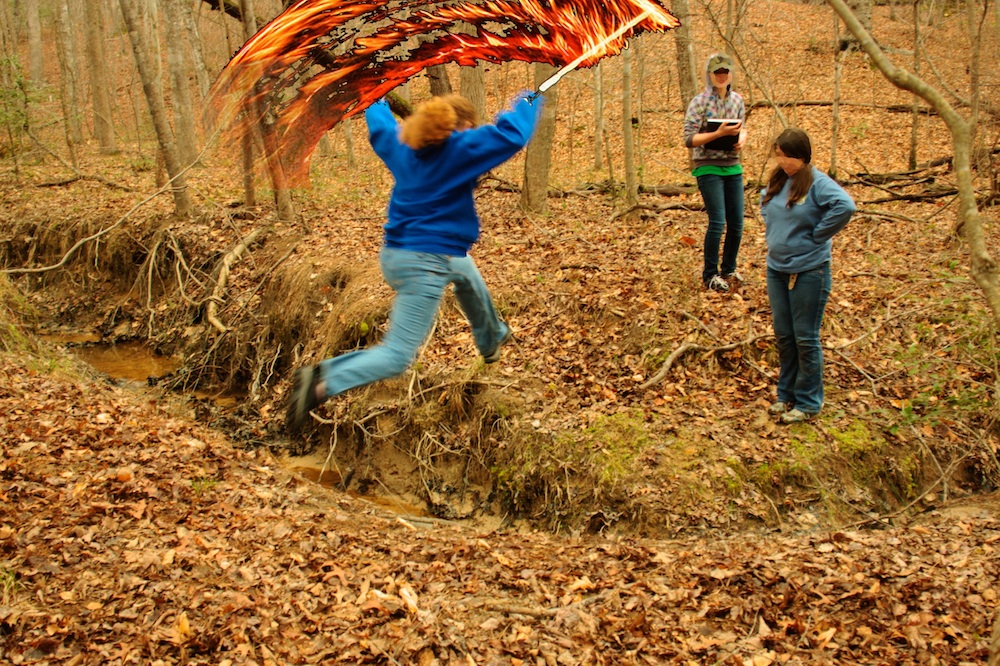
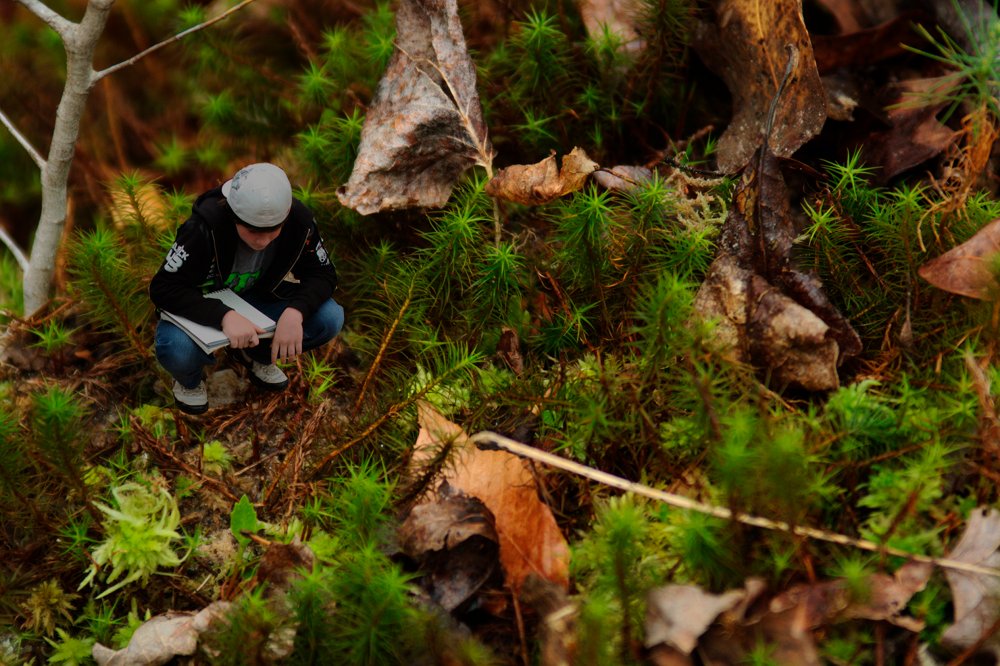
I took the time to observe the beautiful moss that maintained the banks of the stream. Students took the time to observe the environment.
Taking a break at the confluence of two streams.
Downstream the valley got wider and wider, and the stream cut deeper and deeper into the valley floor, but even the small stream sought to meander back and forth, creating beautiful little point bars and cut-banks.
A small, meandering channel. Note the sandy point bars on the inside of the bend, and the overhanging cut-banks on the outside of the curve.
As the stream approached its estuary it would stagnate in places. There, buried leaves and organic matter would decay under the sediment and water in anoxic conditions, rendering their oils and producing natural gas. We’re going to be talking about global warming and the carbon cycle next week so I was quite enthused when students pointed out the sheen of oils glistening on isolated pools of stagnant water.
The breakdown of buried organic matter produces gas and oils that are less dense than water.
Finally, we returned to the estuary. It’s much larger than the first one we saw, and it’s flat, swampy with lots of distributaries, and chock full of the sediment and debris of the watershed above it.
View of the lake from the estuary. The red iron floc in the stream made for a beautiful contrast with the black of the decaying leaves. There is so much red precipitate that it is visible on the satellite image.
This less than three kilometer hike took the best part of two hours. But that’s pretty fast if you value your dawdling.


