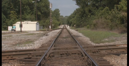
The Memphis to Charleston line was the only railroad that linked the East Coast of the Confederacy to the fertile Mississippi River Valley. At a time when the fastest way to move troops, supplies and commerce was by river or rail, the Memphis and Charleston railroad was essential (this was well noted in Robert Black’s “The Railroads of the Confederacy”). Cutting the railroad was an important objective of the Union. Cutting it at Corinth Mississippi would also cut the Mobile and Ohio Railroad line which linked the north and south of the Confederacy. Thus the Battle of Shiloh, where the Union could disembark its armies using the Tennessee River, and soon after, the Battle of Corinth.
The Civil War Interpretive Center in Corinth (this is also a good reference) does a nice job of presenting the details of the battles for the town, and their video presentation, with different images projected on multiple screens in a circular room was quite good (though there was a lot of information and you did not know quite which screen to focus on, so some students had trouble keeping track of it all).
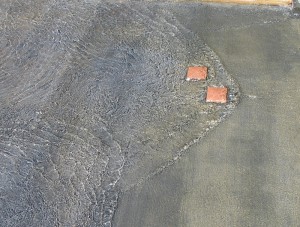
The most interesting part of the center is the Stream of American History which is a wonderful place to learn about metaphors. The stream starts with a fountain that overflows through 13 notches cut in the rim of the basin into a shallow water course that gradually widens as more states are added to the U.S. In the first reach of the stream there are impediments in the paved stream bed that create turbulence, harbingers of the war to come (they create nice standing waves which is an additional point in their benefit).
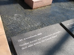
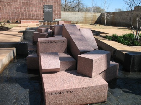
When the stream gets to its main focus, the civil war, large granitic blocks, cut into prisms and labeled with the names of the battles, break the stream into two before it finally merges again as it reaches the reflecting pool.
I threw my students at the Stream without telling them what it was. The only hint I gave was that it was a “large metaphor”. There were enough clues that they could figure it out. They wandered around it individually, with their pencils and notepaper for 15 minutes (I required that they write down their interpretation, then we got them together to pool their thoughts.
The stream is a very nice puzzle, and the National Park Service has a good key (pdf). It was a good way to end our immersion trip, and it gave the students something to think about on the long drive home.
[googleMap name=”Corinth Civil War Interpretive Center” width=”400″ height=”350″ mapzoom=”4″ mousewheel=”false” directions_to=”false”]501 West Linden Street, Corinth, MS[/googleMap]
