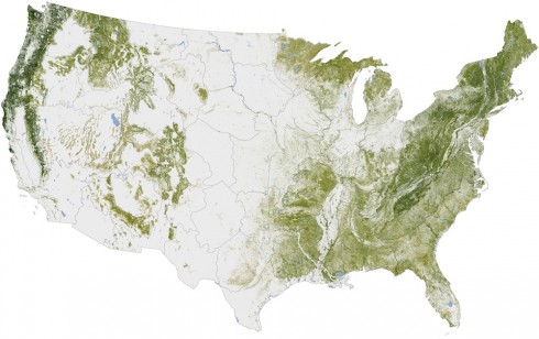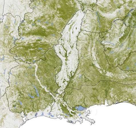
The Woods Hole Research Center put together this map of “Aboveground Woody Biomass” that essentially shows where the trees are in the U.S.. The map was created using, primarily, satellite imagery. Their website has a nice, interactive, version of the map, and a 3d video flyover of the of southeastern Georgia.
Trees build their woody biomass using carbon from the atmosphere (remember during photosynthesis plants absorb carbon dioxide gas), so these trees are represent stored carbon. If they are burned their carbon is released to the atmosphere. If more trees are planted then they will absorb more carbon dioxide from the atmosphere. This map serves as an inventory of what we have now; a baseline for discussions about what to do about carbon-driven climate change.
