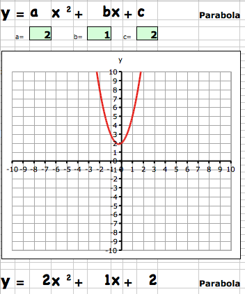
To supplement the Excel program to graph a line, I’m also posting a simple program to graph a parabola.
Middle and High School … from a Montessori Point of View

To supplement the Excel program to graph a line, I’m also posting a simple program to graph a parabola.
When introducing the x,y coordinate system using a world map it is most effective if you use the right type of map projection. Most maps use a Mercator projection which stretches thing out as you get closer to the poles. You can see this in how the latitude lines get further apart as you get closer to higher latitudes and Antarctica and Greenland get all stretched out.
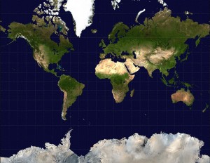
The Mercator map is great for navigation, because if you measure angles on the map (bearings) between two places, you get the right bearing to sail your ship.
The better map to use for demonstrating the coordinate system would have an equirectangular projection, where all of the lines of latitude and longitude are equally spaced. These are harder to find, so I’m posting here a background map with the latitude and longitude marked on it (in 10 degree increments).
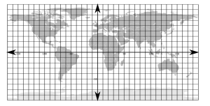
Notice the difference in sizes between the maps and the size of Greenland.
I’m also posting here, because it might be useful, a simple linear graph in Excel (or for OpenOffice) that simply plots lines if you enter the equation in slope-intercept form. There are lots of websites that let you do some really cool things (I’ll post about them later), but sometimes the simplest is what you want.
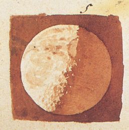
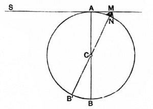
Galileo Galilei matched careful observation of sunlight and shadows on the moon, with some beautiful geometry to estimate the height of lunar mountains, in 1609. He needed the Pythagoras’ Theorem and the quadratic formula, both of which middle school students should be familiar. Larry Phillips has a nice post describing how Galileo did the math. The image below (from Pioneers of Science shows how to get started.
Combining math, science and culture. Christmas tree rocketry.
World Builder from BranitVFX on Vimeo.
Google’s SketchUp software is a great way to work on, and test, higher level geometry skills. This video is a well made, poignant introduction to what software like SketchUp could one day become. It has excellent story development, and has produced a great response from my students.