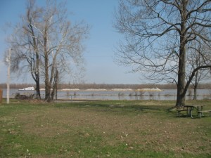
Driving through Missouri last week, I stopped at the Trail of Tears State Park, which may be an excellent place to study the post-colonial history of Native Americans (perhaps as part of our civil rights discussions), and observed the Mississippi River and its flood plain before it becomes engorged at its confluence with the Ohio River.
In 1830, President Andrew Jackson passed the Indian Removal Act, which called for the removal of American Indians living east of the Mississippi River to relocate west of the Mississippi River. …
While some of the Cherokees left on their own, more than 16,000 were forced out against their will. In winter 1838-39, an endless procession of wagons, horsemen and people on foot traveled 800 miles west to Indian Territory. Others traveled by boat along river routes. Most of the Cherokee detachments made their way through Cape Girardeau County, home of Trail of Tears State Park. While there, the Indians endured brutal conditions; they dealt with rain, snow, freezing cold, hunger and disease. Floating ice stopped the attempted Mississippi River crossing, so the detachments had to set up camps on both sides of the river. It is estimated that over 4,000 Cherokees lost their lives on the march, nearly a fifth of the population.
–Missouri Department of Natural Resources: Remembering an American Tragedy
The small museum at the main park building does a very good job of trying to dispassionately tell the tragic story.
View Trail of Tears State Park, MO in a larger map

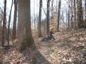
There’s a short, 1 km nature walk behind the building that was nice on a beautiful, sunny day in early spring. Warm, with the trees just barely beginning to bud you can get a feel for the ridge-and-valley topography of the park, which is in stark contrast to the flat floodplain of the Mississippi on the other side of the river. The park’s roads weave up and down the ridges, and I wished I’d had my bike with me.

This early in the year (mid-March) most of the campgrounds in the interior of the park seem to be closed, but there is one down on a beach of the Mississippi River that was empty but open. This one has electrical hookups which is not a bad thing if you have the place all to yourself.
The scenic outlook is a wooden platform that juts out through the trees so you can see across the Mississippi to the flat floodplain and farmland beyond. Sitting on a cliff of sedimentary rock (it looked like limestone from a distance), the outlook is high enough that you can just make out the shapes of old meander bends and ox-bow lakes.
It’s a small park, probably worth a visit for the museum, and the outlook is nice, but probably not somewhere you’ll want to spend the night unless some of the upland campgrounds are open.
The museum’s focus on the relocation of the Cherokee would be a nice followup to the pre-Columbian focus of the Chucalissa Museum in Memphis.

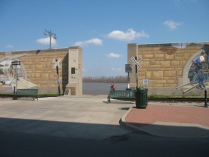
If you’re looking at river processes, you’ll probably also want to stop in Cape Giradeau, which boasts a fromidable wall to protect the downtown from the Mississippi River’s spring floods.