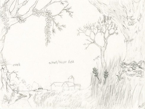
I think that one of the reasons I really like this diagram is because it places the school as a small piece in a much larger ecological context. A student in my Environmental Science class drew it for an assignment. We’d hiked all the way from the creek to the ridge in the company of Scott Woodbury from the Shaw Nature Center, and I asked them to draw a diagram showing the different ecological regions. I’d expected top down maps, which is what almost all the other students did. When I asked why the perspective view, she said just didn’t know how to draw trees from the top down.