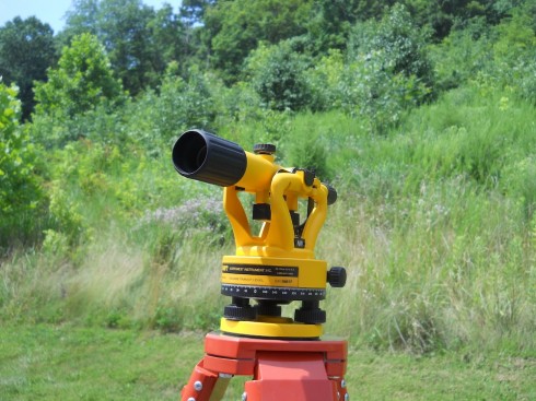
This spring I was nominated by my head of school for a small, Teacher of Distinction award offered by the Independent Schools of St. Louis (ISSL). I proposed to get a survey transit that our students could use to map ecological change on campus. My outdoor group has been slowly cutting down the invasive Bradford pear saplings on the slope and I’ve been curious to see if mapping their locations would help us better understand where they’re coming from.

The transit would also be a great tool for math. Geometry, algebra, and pre-calculus classes could all benefit because surveying can require quite a bit of geometry and trigonometry.

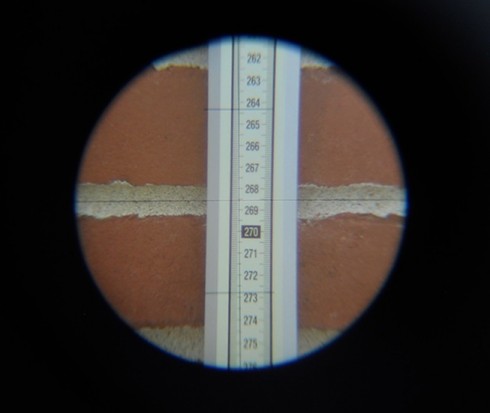
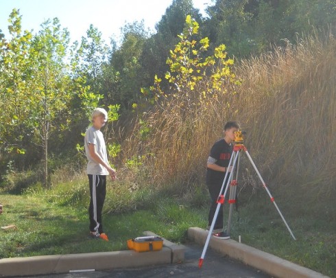
So, I’ve started training a few of my outdoor group in making the measurements. They’ve spent a few weeks learning how to use the transit; we only meet once a week so it goes slowly. However, we’ll start trying to put marks on paper at our next class.
