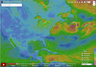
Windyty shows beautiful animations of the current wind patterns around the world.
Middle and High School … from a Montessori Point of View
Windyty shows beautiful animations of the current wind patterns around the world.

We stopped at the Elephant Rocks State Park our way down to Eminence MO for our middle school immersion trip. The rocks are the remnants of a granitic pluton (a big blob of molten rock) that cooled underground about 1.5 billion years ago. As the strata above the cooled rock were eroded away the pressure release created vertical and horizontal cracks (joints). Water seeped into those joints, weathered the minerals (dissolution and hydrolysis mainly), and eroded the sediments produced, to create the rounded shapes the students had a hard time leaving behind.
This was a great stop, that I think we’ll need to keep on the agenda for the next the next trip. I did consider stopping at the Johnson’s Shut-Ins Park as well, but we were late enough getting to Eminence as it was. Perhaps next time.

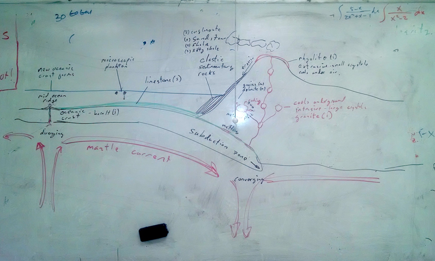
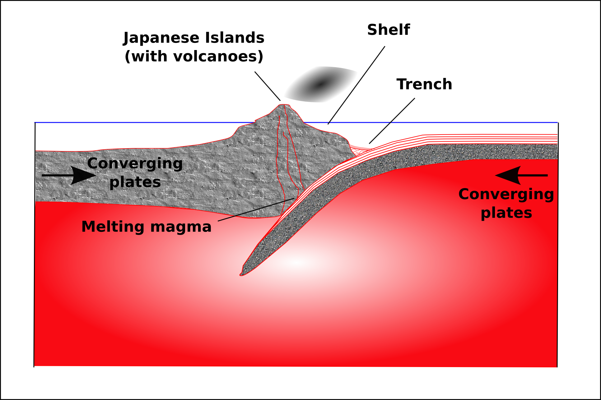
The picture of a convergent tectonic boundary pulls together our immersion trip to Eminence, and the geology we’ve been studying this quarter. We saw granite boulders at Elephant Rocks; climbed on a rhyolite outcrop near the Current River; spelunked through limestone/dolomitic caverns; and looked at sandstone and shale outcrops on the road to and from school.
Everyone knows about Charles Darwin, but hardly anyone remembers Alfred Russel Wallace, who came up with the idea of natural selection at the same time as Darwin. Darwin’s publication of the On the Origin of Species was spurred on by Wallace. Flora Lichtman and Sharon Shattuck shed a little light on Wallace with this video:
Indeed, from the introduction of On the Origin of Species:
I have more especially been induced to [publish], as Mr. Wallace, who is now studying the natural history of the Malay archipelago, has arrived at almost exactly the same general conclusions that I have on the origin of species. Last year he sent to me a memoir on this subject, with a request that I would forward it to Sir Charles Lyell, who sent it to the Linnean Society, and it is published in the third volume of the Journal of that Society. Sir C. Lyell and Dr. Hooker, who both knew of my work—the latter having read my sketch of 1844—honoured me by thinking it advisable to publish, with Mr. Wallace’s excellent memoir, some brief extracts from my manuscripts.
— Darwin, 1859. On the Origin of Species.
“… we argue that destroying and replacing the free gifts of nature can be an economic benefit.”
— Gowdy et al. (2012): The Parable of the Bees: Beyond Proximate Causes in Ecosystem Service Valuation via Krulwich Wonders.
Robert Krulwich has a fascinating article that summarizes a research paper that looked into what happened when people had to replace the honeybees to pollinate fruit crops in China. Apparently, from a purely economic standpoint, humans did a better job — they pollinated more flowers — and because people had to be hired to do this, it helped the economy as well.
Despite the economic benefit, summarized by the alarmist quote above, the authors of the article actually use this example to argue that it is foolhardy to use this type of economic analysis for deciding what to conserve.
We do not argue that the positive economic benefits justifies eliminating natural processes. On the contrary, the Maoxian [, China] case illustrates the danger of allowing the logic of the market to drive conservation policy.
— Gowdy et al. (2012): The Parable of the Bees: Beyond Proximate Causes in Ecosystem Service Valuation.
↬ Dr. Sansone

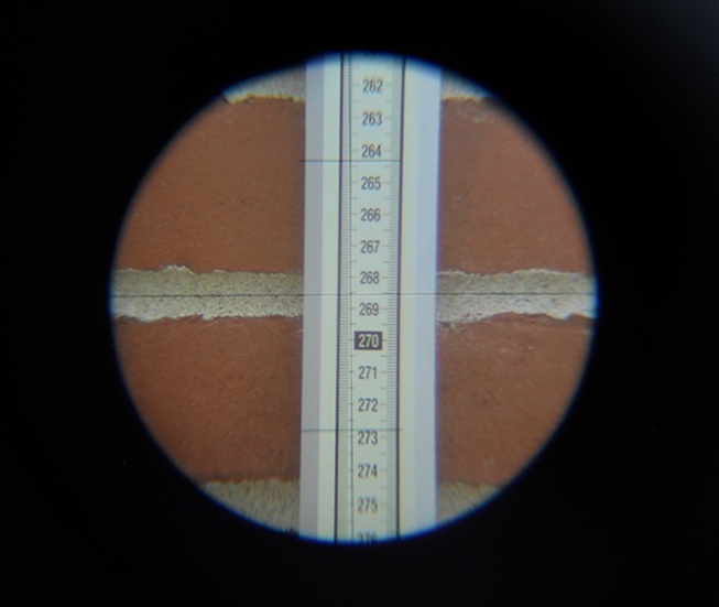
With the help of Scott Woodbury from the Shaw Nature Reserve, Dr. Sansone lead the effort to remove the six mature Bradford Pear trees from the front of the school over the last interim. We collected slices of each of the trees so students could do a little dendrological work with the tree rings.
The trees were planted as part of the original landscaping of the school campus. They’re pretty in the spring and fall, but are an aggressive invasive species.
The fast growth, however, make for wide growth rings. In fact, in addition to the annual rings, there are several millimeter wide sub rings that are probably related to specific weather events within the year. I’d like to see if we can co-relate some of the sub-ring data to the longer term instrumental record of the area.
The tree cutting was quite fun as well, despite being done on a cold day near the end of November. Students helped stack logs and organize branches along the road for the woodchipper. I learned how to use a chainsaw.


This spring I was nominated by my head of school for a small, Teacher of Distinction award offered by the Independent Schools of St. Louis (ISSL). I proposed to get a survey transit that our students could use to map ecological change on campus. My outdoor group has been slowly cutting down the invasive Bradford pear saplings on the slope and I’ve been curious to see if mapping their locations would help us better understand where they’re coming from.

The transit would also be a great tool for math. Geometry, algebra, and pre-calculus classes could all benefit because surveying can require quite a bit of geometry and trigonometry.
So, I’ve started training a few of my outdoor group in making the measurements. They’ve spent a few weeks learning how to use the transit; we only meet once a week so it goes slowly. However, we’ll start trying to put marks on paper at our next class.
