Heifer 2013

The partially completed version of the artwork that our students gave to the Heifer facilitators.
The partially completed version of the artwork that our students gave to the Heifer facilitators. The border pattern comes from the DNA Writer.

This year’s trip to the Heifer International Ranch was as excellent as it has been in the past. Students worked in their CSA garden (planting garlic and picking peppers and tomatoes for example), helped with maintenance on the grounds, assisted with taking care of their livestock, and spent a night at their global village. We saw quite the variety of spiders.

Each night, students spent a half-hour doing some reflective writing in their journals, and we had a discussion or lesson that tied into what they’d done or seen during the day.

  • Sunday: The geologic and geographic importance of rivers. I’d pointed out the all the agriculture on the Arkansas river floodplain when we’d crossed it on the drive down, so we talked about how rivers erode mountains and deposit rich soils on their floodplains, and how important those floodplain and deltaic deposits have been in the emergence of civilizations and the location of cities.
  • Monday: Language Arts. We took a short passage out of one of the students’ journaling to use as an apprentice sentence.
  • Tuesday: Global village. Our group ended up in the Guatemalan house and the slums. The dire situation in the sums evoked some moral flexibility.
  • Wednesday: Art: Drawing vegetables with watercolor and color pencils. We took advantage of having our art teacher along as one of the chaperones. Life in the slums: We also talked about the difference between our experience in the simulated global village and real life in the slums.
  • Thursday: Social interaction. We were paired with the Girls’ School of Austin, who invited us over for smores after our debriefing of the week’s activities by the facilitators. Our boys, in particular, learned how to start and maintain a conversation with people of the opposite gender.

Students also had a bit of time between lunch and the afternoon activities, which they spent playing games and looking at insects under the microscope.

On the last day, we talked about giving something to the heifer facilitators. One student suggested a coded bead string, but since we did not have any beads, we went with a drawing (see above) that was bordered by a DNA sequence giving the names (and symbols) of all the water-balloon babies the group had on their visit to the global village.

Outdoor Education in Eminence, Missouri

The Tempest Simulation.

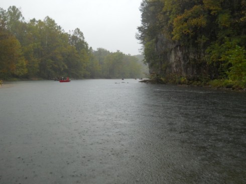
The middle school has been studying The Tempest over the last quarter. In order to give students a deeper connection with this Shakespearean play, we arranged for students to experience the titular meteorological phenomenon on our outdoor education trip last week. Since we’re located in the mid-continent, replicating the precise maritime conditions and acquiring the appropriate vessel would have been cost prohibitive. Instead, taking advantage of the local geography and socio-cultural predilections, we improvised by arranging for a series of thunderstorms during a canoe trip in the Ozarks.

In truth, the main purpose of our outdoor education trip was to integrate the upcoming 7th graders and new students into the middle school class. The key advantage of the multi-aged classroom is the opportunity for older students to mentor the younger students, and propagate the appropriate classroom culture and expectations from year to year. But for this to work well requires students to develop strong working relationships and communication skills. The isolation of the trip (no technology) and the coordination required for the tasks we perform (such as paddling a 2-person canoe) greatly facilitate this process.

Despite being drenched, chilled, and a little scared, the group’s performance was remarkable. They endured the worst of the storms, looking out for each other with encouraging words and heartening smiles. They found the strength within themselves as individuals and as a group to keep morale high while on the river. And, when we pulled over, were able to bask in the giddy relief that a good group feels after stressful situations. By the end, they had developed a genuine camaraderie forged by a shared, intense challenge.

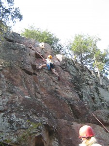
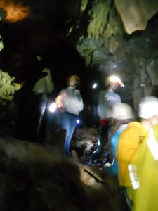
P.S. We also did some rock climbing, caving, spent a night on a sandbar, journaled, and learned a bit about geology, hydrogeology, fish surveys, the rock cycle, and some vocabulary (“hubris” was a term, new to many, that was ably demonstrated by the pair who flipped their canoe).

Rock climbing.
Spelunking.

P.P.S. Our excellent, invaluable guides on the trip were from Discovery Ministries, which is a religious organization, but they do non-religious programs for groups like ours.


View Outdoor Ed. in Eminence MO. in a larger map

(From our Eminence Immersion)

Visit to the Quarry/Landfill

We discussed quite a variety of topics just based on the visit to the landfill/quarry.

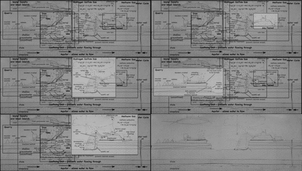
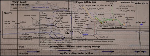
A single, half-day, visit to the landfill and quarry brought up quite the variety of topics, ranging from the quarry itself, to the reason for the red colors of the cliff walls, to the uses of the gases that come out of the landfill. I still have not gotten to the details about the landfill itself, but I’ve put together a page that links all my posts about the quarry and landfill so far.

There was so much information that we spent the better part of the following week debriefing it in the middle-school science class.

Click the image for more details.

The map below gives a good aerial view of the site.


View Landfill and Quarry (as of 11/26/2011) in a larger map

Government and Geology in Nashville

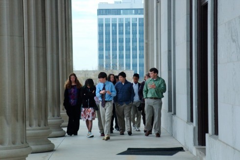
At the capitol building in Nashville.

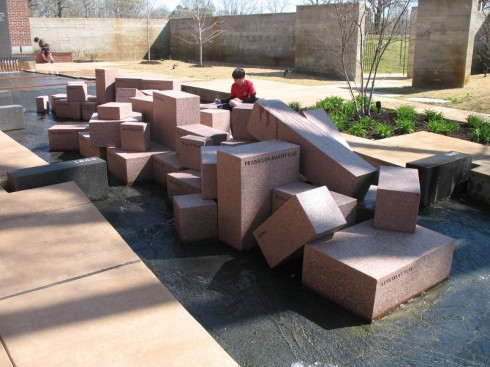
Earlier this spring, we had an excellent immersion trip to Nashville. The primary purpose was to visit the capitol and meet with Memphis’ State Representative Mark Kernell.

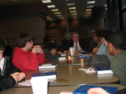
State Rep. Kernell was kind enough to spend some time answering and asking questions of our students.

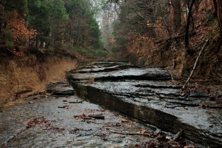
But we also had time to visit the Abintra Montessori School in Nashville (who returned the visit last month), and have an excellent hike along a limestone-bedded stream in Montgomery Bell State Park. The hike, however, was not without some controversy.

Bedding planes and joints.

Shilo and Pickwick Immersion

The Shiloh National Battlefield is only a couple hours east of Memphis (or west of Nashville), and its proximity to Corinth, MS, and a state park with a hydroelectric dam, make it an excellent place for an immersion trip during the cycle when we study the U.S. Civil War and electromagnetism. Two years ago, on a couple beautiful, sunny days in the middle of spring (early April), almost on the anniversary of the battle, we made the trip.

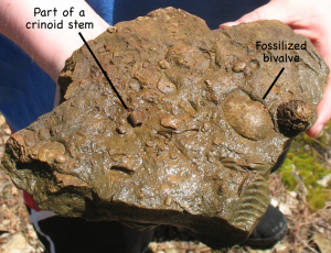
Paleozoic (?) (250-550 million years ago) fossils from Pickwick Landing State Park.

We drove over on a Tuesday morning, and since our very nice cabins at Pickwick Landing State Park were not quite ready yet, we ate the lunch we’d brought with us at a picnic shelter on the park grounds. The choice of picnic shelter number 6 was serendipitous, because not only was it beautifully located, but just down the hill, at the edge of the water, is an excellent outcrop of fossiliferous limestone.

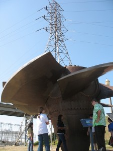
After unloading at the cabins, we took a short, afternoon drive to see the hydroelectric dam.

Old turbine from the hydroelectric dam.

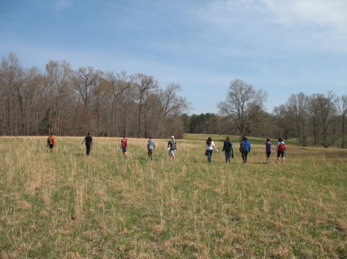
The next morning we hiked along the Confederate line of advance during the Battle of Shiloh.

Reenacting the Confederate skirmish line at Shiloh.
Confederate or Union?

It was a relatively long hike, but useful in that it allowed students a feel at least for the scale of the battle, and the conditions the soldiers endured. There was also a nice museum at the end, with an interesting video and an excellent demonstration from one of the park rangers (you need to book an appointment ahead of time).

Finally, on Thursday morning, on our way back to Memphis, we stopped at the Civil War Interpretive Center in Corinth, Mississippi. The museum is excellent, especially the Stream of American History, which is abstract enough that it makes a great puzzle for students to figure out.

Stream of American History.

The map below shows the locations of the stops, and has links to the posts about each stop.


View Shiloh Immersion in a larger map

Coastal Science Camp at the Gulf Coast Research Lab

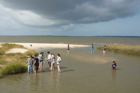
Dip netting in a small estuary.

As you may have guessed from the previous posts about waterspouts and the dolphin, we’ve been on the Gulf coast for the last few days. Specifically, we were visiting the Gulf Coast Research Lab‘s Marine Education Center for two days for our end-of-year trip.

It was excellent. The weather was perfect; sunny with lots of cumuliform clouds for shade but little rain. However, the what really made the trip work was that we had a good, interesting, and varied program, directed by an excellent instructor, Stephanie T..

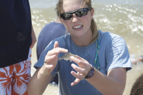
Stephanie T. pointing out the finer points of piscine morphology.

For reference (to link all posts about the Coastal Science Camp):


View Coastal Sciences Camp, Gulf Coast Research Lab in a larger map

Coon Creek Immersion: Visiting the Cretaceous

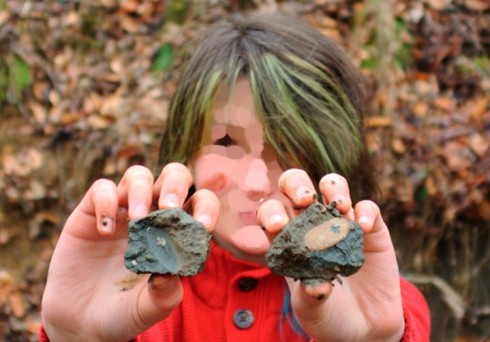
70 million year old shell and its imprint collected at the Coon Creek Science Center.

Just got back from our immersion trip to collect Cretaceous fossils at the Coon Creek Science Center, and hiking in Natchez Trace State Park.

It was an excellent trip. Despite the cold, Pat Broadbent did her usual, excellent job explaining the geology of Coon Creek and showing us how to collect and preserve some wonderful specimens. Back at the cabins, we looked at some of the microfossils from the Coon Creek sediments (and some other microscopic crystals); similar fossils can tell us a lot about the Earth’s past climate.

Back at the Park, we traced a streamline from the watershed divide to its marshy estuary, and cooked an excellent seafood dinner as we learned about the major organ systems.

Dinner was delicious.

Our trip was not without difficulties, however. The group learned a bit more about self-regulation, governance and the balance of powers, as a consequence of “The Great Brownie Incident,” and the, “P.E. Fiasco.”

We were also fairly well cut off from the “cloud”: no internet, and you could only get cell reception if you were standing in the middle of the road in just the right spot in front of Cabin #3.

But more on these later. I have some sleep to catch up on.


View Coon Creek Immersion in a larger map

St. Louis overview

View of St. Louis from the top of the Arch.

I had not particularly wanted to go up into the St. Louis Arch myself, but the students really wanted to and we had a little time to spare after the Science Museum. So I grabbed tickets for the last tram to the top, and I’m glad I did. Looking down on the city and river from above you could, in an almost tactile way, reconcile the geographic elements with the history that we’d talked so much about at Anheuser-Busch.

Eads Bridge across the Mississipi River in St. Louis.

Standing in line, waiting for the tram to the top, we were treated to a short documentary on the Eads Bridge, the first across the Mississippi in St. Louis. The video stressed the importance of the bridge in allowing the city to become the gateway for westward expansion.

The tram arrived and small rectangular doors opened up to reveal tiny escape pods fit for a spaceship. Five of us squeezed in, fortunately we were all friendly. The distinct possibility of claustrophobia tinged the air. Three minutes 47 seconds later we reached the top. Forty-five degree rain was pouring down outside. The wind was so strong you could, if you held still and waited for it, feel a slight sway in the Arch itself.

Barges in the distance.
Grain silos and transhipment docks.

Looking east we saw the mighty Mississippi. Not quite so mighty as it is in Memphis, which is downstream of the confluence with the Ohio River, but enormous nonetheless. On the river, huge barges carried freight cars with unknown cargo south toward New Orleans. Just below, an helicopter sat on an helipad barge waiting for an emergency call. Directly across the water, on the east bank, enormous silos with their own docks waited to load barges with grain collected from across the mid-west.

It was still pouring when we left the Arch, and the rain continued on even during dinner. But leaving the restaurant, heading back to the hotel, the setting sun to the west, refracted through raindrops over the river, created one of nature’s own ephemeral monuments. A poignant reminder that forty-five, or even one hundred and forty-five years are but a moment in the deep span of geologic time.